No Relive today as I went far afield “dolly-gagging.”
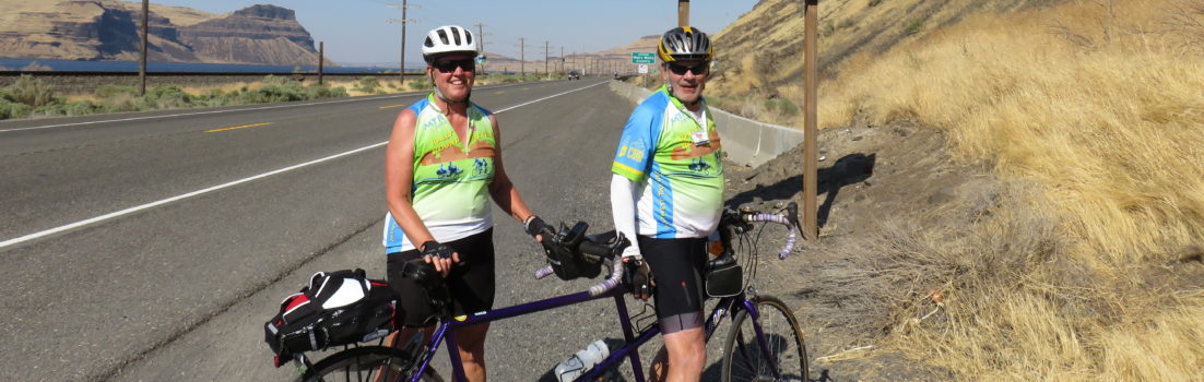
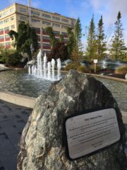
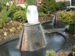
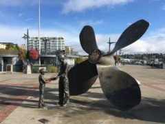
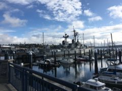
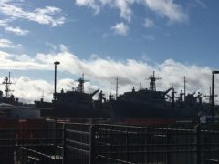
When I realized that our route was only 40.5 miles today and word was that the town of Shelton was less than exciting, I decided to go “sightseeing”. With permission from Guide Patty, I decided to wander into Bremerton, just to see what I might see. The other night, Vickie had mentioned some fountains near the waterfront, so I planned a route to the Ferry Terminal. There were some steep downhills and significant uphills to get into the downtown. I passed numerous memorials and lots of recognition of the Navy Shipyard located in Bremerton. See photos below.
After about 8 miles of wandering, I decided to try to link up with the WT route, only to find that the most direct solution was the shoulder of SR3, a less than desirable alternative. So I figured out how to retrace my route and linked up to the WT route at mile 1.
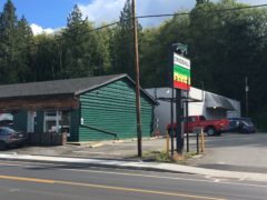
Half a mile later was a steep hill (8-13%), but I have been able to stay on my bike and pedal slowly. At mile 4 on the WT route (mile 10 for me) began a valley route, though the first miles may have had a slight uphill, as I was unable to get my speed up over 8 mph. As recommended I stopped at Starbuck’s in Belair, also passing 2 cannibas retailers (noted on the Washington State Cannibas map) – no stopping at either for me.
At mile 20 (30) was another steep uphill (11% for 1/2 mile), slow and steady.. before turning onto Mason Lake Drive – very large lake, with lots of summer homes all around. I spoke to a local woman who indicated that the water was a comfortable temperature in July and August, and that the lake was natural and fed by an underground source.
About that time, it began to rain and I covered up my trunk bag and handlebar bag and put on my rain jacket. It would rain for 10-15 minutes, clear a bit, then rain again. This continued all the way into Shelton.
Stopped for a candy bar and soda at Lake Limerick store, a needed rest at about 43 miles. As I rode into Shelton, the route took us briefly on a paved trail beside the road, and up and down one final hill.
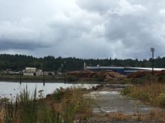
I had been told that Shelton was at the western most point of Puget Sound, only to discover that a large lumber mill and train tracks occupies the lower end of the Bay.
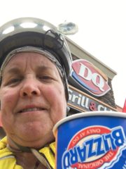
DQ was less than a mile from the hotel, so I made the obligatory stop, though I was feeling cold from the rain (temperatures were in high 50 degrees).
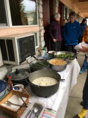
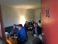
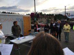
Due to threat of rain, we did not do dinner circle tonight, but many gathered in rooms to dine together. And map meeting was standing in the parking lot, as it was not raining.
52.89 miles, 9.88 mph, 3605.6 ft ascent (I certainly am not getting any faster!)
-
-
Sunrise over Oyster Bay
-
-
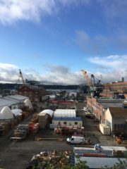
Shipyard view
-
-
Puget Sound Navy Shipyard memorial
-
-
Battleship monument
-
-
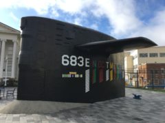
Submarine monument
-
-
No ferry at dock for Seattle – I decided to stay on the tour.
-
-
Fountain rising up – shaped like a submarine conning tower
-
-
On the boardwalk
-
-
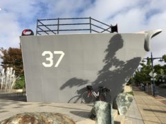
USS Turner Joy
-
-
Final view of shipyards
-
-
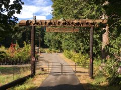
This nursery was closed, but the entrance was most interesting
-
-
Cannabis sales in Belfair
-
-
Seagulls napping by the bar
-
-
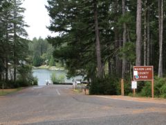
Mason Lake Park (named for my grandson??)
-
-
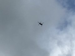
Flying overhead – were they looking for me?
-
-
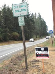
Entering Shelton
-
-
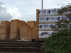
Sierra Pacific lumber occupies the harbor front
-
-
The western most point of Puget Sound
-
-
Blizzard celebration
-
-
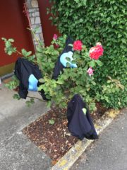
Rose bush drying rack
-
-
Shrimp curry for dinner – Chef Sue feeds us well!
-
-
-
Patty leads map meeting
Like this:
Like Loading...