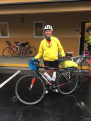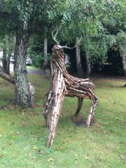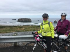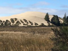
It was a bit cool as we departed Bandon this morning, but the rain yesterday had cleared the air and washed much of the debris off the shoulders – we were going to be on US 101 most of the day. Early on the route, we passed several unusual sights: an assortment of “lawn ornaments?” and terrain with meadows and cows, neither we had seen recently.
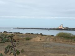
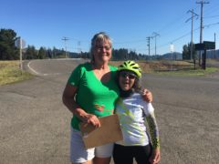
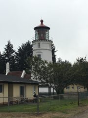
I had researched the one remaining lighthouse along the Oregon coast and decided to “go astray.” This is the farthest I have gone off route on any of the WT tours. After the first sag, I notified Lorna that I would be “off cue” for some time and headed to the Cape Blanco Lighthouse. I had been thinking/hoping I might hitch a ride in a pick-up truck or camper, but the traffic headed my direction was all smaller cars. It was a 5.5 mile ride to the lighthouse, $2 for the tour, and an extra 100 minutes for the roundtrip. See the photos to see if you think it was worth it. I did find out about Mr. Langlois who served 42 years as the head lighthouse keeper, and his assistant, the neighbor’s son, Mr. Hughes, who served 38 years. Shortly after Mr. Hughes left the lighthouse, it went electric.
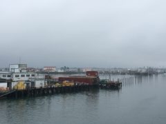
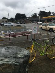
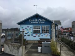
Back on route, after no success getting a ride back to US 101, I stopped briefly in Port Orford to eat my PBJ and get a Diet Coke. Port Orford was the first town on the coast of Oregon to incorporate, in the 1850s, a fact they find quite important. It seemed a typical small fishing town.
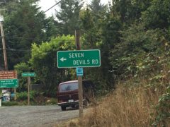
After another 16 miles, the route went off of US 101 onto Cedar Valley Road. The cue sheet indicated 5 miles of climb, but it was basically a rolling backroad, past Oreo cows and even a 9 hole golf course.
The valley ended at the Rogue River. Over 10 years ago, the Craft and Morse families took a rafting trip on the Rogue River, further inland; we called it “float and bloat” for all of the food we took along – great memories.
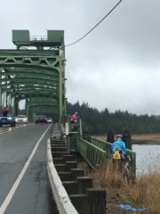
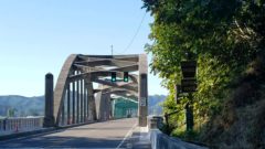
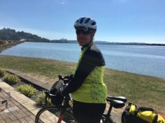
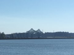
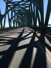
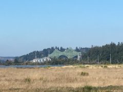
I rejoined US 101 at the McCullough engineered bridge crossing the Rogue River, dedicated to Governor Edgar Lee Patterson, and arrived in Gold Beach. Our motel, the Inn of the Beachcomber was just 1.7 miles further.
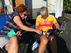
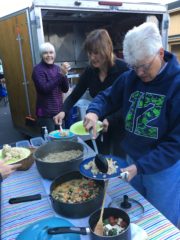
After a short walk on the beach, dinner was served: steak, salmon, mixed vegetables, garlic mashed red potatoes, caesar salad, bread and watermelon. Patty had cooked dinner, so Sue did the map meeting with extra facts about Crescent City and tomorrow’s route. Another great sunset – we can hear the waves from our room – Barbara is my roommate once again.
The cue sheet was for 57.5 miles, I had 68.83, 11.2 mph, 4465.2 ft ascent.
Relive: https://www.relive.cc/view/1209407869
-
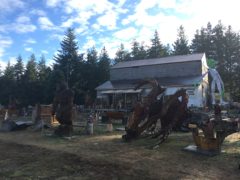
- Early morning “lawn ornament” display
-
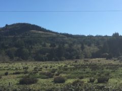
- Meadow and cows were unexpected scenery
-
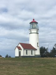
- Cape Blanco lighthouse – smaller building would have been used for oil storage
-
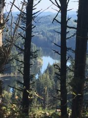
- View from the lighthouse window
-
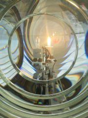
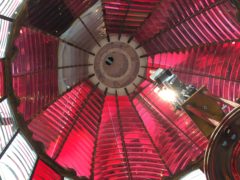
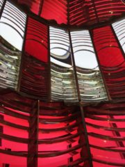
- Looking through the lens “bullseye”
-
- In Port Orford
-
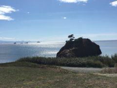
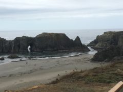
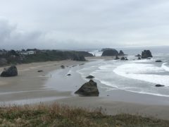
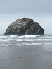
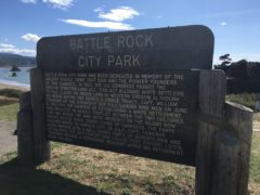
- Battle Rock
-
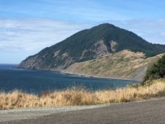
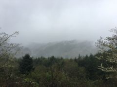
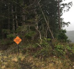
- The route went around Humbug Mountain – a coastal route would have been a hum-dinger
-
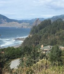
- This house was along a very desolate part of the coast – couldn’t figure out how they got down there, but views must be incredible.
-
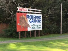
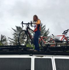
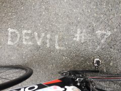
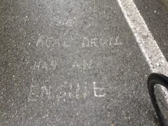
- You never know what you will see along the backroads
-
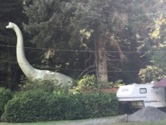
- Maybe a dinosaur??
-
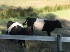
- Oreo cows, AKA belted Galloways
-
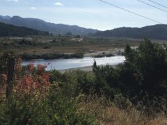
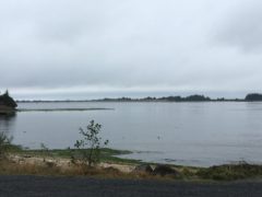
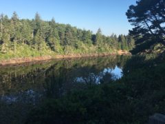
- First view of the Rogue River
-
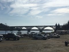
- Bridge crossing the Rogue
-
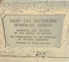
- Rogue River bridge dedication
-
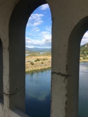
- View of the river through the arches at southern end of the bridge
-
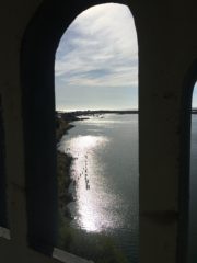
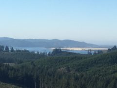
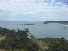
- View toward the mouth of the river, where it meets the ocean
-
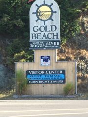
- Welcome to Gold Beach
-
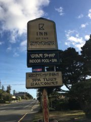
- Tonight’s motel
-
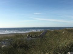
- Ocean view on walk to beach
-
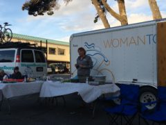
- Patty describing dinner
-
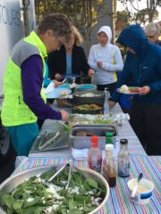
- Yummy dinner
-
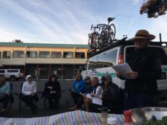
- Sue handles map meeting
-
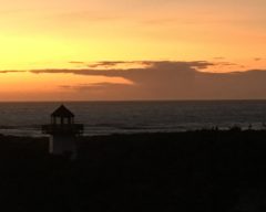
- Beautiful sunset: this lighthouse is just a fixture on the RV property next door to our hotel