Overnight, the winds I had experienced at Point Arena caused a serious fire in Santa Rosa, inland from where we were biking today. Many neighborhoods were evacuated, and, sadly, the fires are not yet contained.
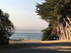
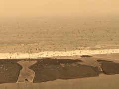
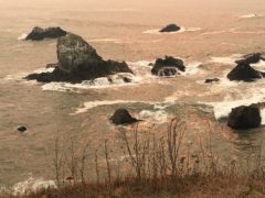
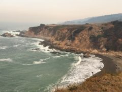
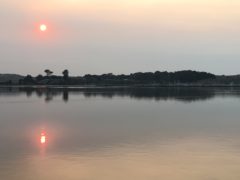
For us the effect was smoke and traffic. The beautiful blue skies of yesterday were now dull and gray; the sun was a shaded red ball; the surf vistas were muted, not by fog, but by smoke. Whether due to the evacuations or the Columbus Day holiday, there were many more cars on the road, but virtually no trucks. We continue to ride on US 1 with minimal if any shoulder and hope for driver patience.
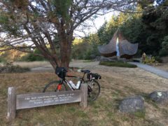
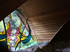
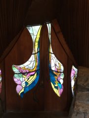
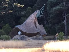
At mile 4 today, Susan had mentioned the Sea Ranch Chapel, well worth the stop. It has an interesting shape and is definitely mostly built of local redwood. Check out the photos when I get a better internet connection. The Sea Ranch development, obviously an upscale community, goes on for over 8 miles on both sides of US 1, just south of Gualala, after we rode into Sonoma County.
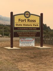
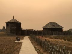
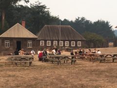
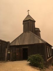
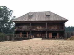
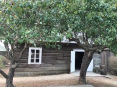
At mile 25, I wandered off cue to Fort Ross State Historic Park. This is the only Russian fort ever built on U.S. soil. The Russians established it in 1812 as a fur-trading post, using Alaskan laborers. The fort only remained under Russian authority until 1841 before being sold to American businessman John Sutter. There was a 4th grade class, in Russian costumes, from Marin County spending the night and studying that part of California history.
The remaining 25 miles were a lot of uphills, switchbacks, and downhills, plus two construction zones. Sadly, we did not have the advantage of the afternoon north breezes. And once we arrived in Bodega Bay, there was plenty of traffic and people, I assume figuring out where to go and what to do with the evacuation.
The Inn at the Tides does not permit parking lot cooking, so we ate a buffet dinner at The Tides Restaurant – no dishes to wash!!
It would appear that our route tomorrow is not affected by the fires, though smoke will continue to be an issue.
Garmin: 49.58 miles, 10.18 mph, 3,937 ascent
Relive: https://www.relive.cc/view/1223096112
- Sea Ranch Chapel
- Window in the chapel
- Doors of the chapel
- A different view – reminds one of a witch’s hat
- Sea Ranch logo
- Notice the smoke on the horizon – it got worse as we pedaled south
- Detour to Fort Ross State Historic Site
- Outside the fort
- School group gathered at Fort Ross
- Greek Orthodox Chapel at Fort Ross
- Warehouse at Fort Ross
- Rotchev House, the original Russian-built structure at Fort Ross
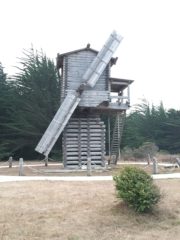
- Russians built the first windmill in California in 1814
- Birds take off at Russian River watershed – notice the smoky sky
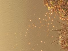
- Instead of silver sparkle from the afternoon sun, we had red/orange due to smoke
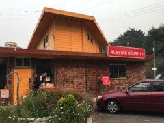
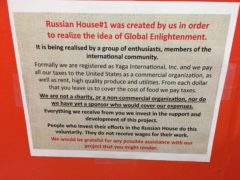
- I stopped for lunch at Russian House #1 near Jenner
- Global Enlightenment
- Bodega Bay
- Near Jenner – look closely and you will see a cyclist coming down the hill
- Setting sun reflecting in the Bay

