Dolly's Bike Blog

Musings about fun between my legs

Half Moon Bay to Santa Cruz

Today I rode with Susan and Robin, wanting to take full advantage of this area being Susan’s “neighborhood”.  And I was well rewarded.

We stopped first at Pescadero Beach, just to enjoy the ocean views.  Then at the Pigeon Point Light Station, now a hostel.  We skipped the bakery in Davenport, but I took a picture of these birds as an excuse to rest briefly on an uphill climb.

Next was the Swanton Berry Farm, strawberry season is ending but Susan and Robin enjoyed blackberry pie while I enjoyed strawberry lemonade (Susan’s bike club friend Skippy had joined us earlier).

Throughout the morning, we had passed fields of brussels sprouts and artichokes (we think) and many pumpkin patches – Halloween seems to be a big event in this area.

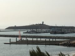
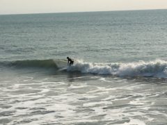
Once into Santa Cruz, Susan led us on a bike path off the Cabrillo Highway (US 1), and we decided to stop for lunch at Kelly’s French Bakery – so much better than PBJ.  Then we followed the shoreline around to the Santa Cruz Lighthouse – alas the Surf Museum was closed, but we saw numerous surfers out in the water (the waves were unusually calm).

Next we rode all along the Wharf with many seafood restaurants, and hidden in the pilings, numerous sea lions (yes there was some barking).  Beyond the Wharf was the Boardwalk, though the rides were closed today (maybe only on weekends in October?).

Finally we followed the San Lorenzo River bike path to our hotel, Hotel Paradox.  My roommate tonight is Joan, who joined the group in Crescent City.  She is Canadian from near Toronto.  Sadly, the area around our hotel seems to have many homeless youth.

We were not allowed to cook in the parking lot, so Susan had suggested a local pizza place, and we were joined by several members of the local bike club, who were most intrigued by our adventures.  Rest Day tomorrow here in Santa Cruz.

Garmin:  53.09 miles, 11.42 mph, 2614.8 ft ascent

Relive:  https://www.relive.cc/view/1228788070

Trouble again loading photos.  I’ll try in the morning.


Photos from 10/12/17

Corte Madera to Half Moon Bay 10/12

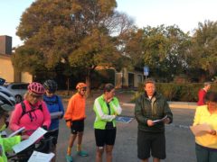
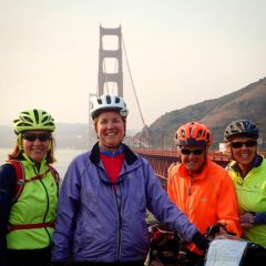
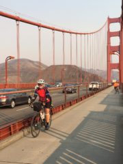
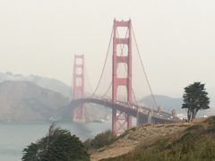
We started the morning with a revised cue sheet, an easier route to get us to the Golden Gate Bridge. Using several bike paths and bike lanes, we wandered into Sausalito before climbing up the Marin Headland to the bridge.  It was surprisingly less crowded than other times that I have biked across, though this is the first time from North to South.

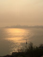
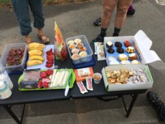
There were repairs on the west side walkway so we biked on the Bay side.  Our views were definitely affected by smoke in the air.  After crossing the Bridge, we wandered through the Presidio, Laurel Heights and into Golden Gate Park.  Several riders got off course and missed the wonderful sag stop that Lorna had set up near the Windmill.

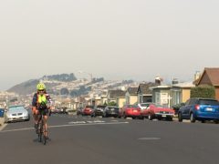
Then we were back on the coast, the Great Highway, US 35, past Ocean Beach and into Daly City.  As we pedaled uphill past cookie-cutter single story, one car garage homes in many colors, we crested and came back downhill past two-story cookie-cutter homes.  With the smoke and the climbing effort, I couldn’t get a good photo.  Daly City also seems to be in the flight path for SFO airport.

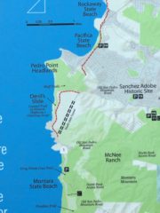
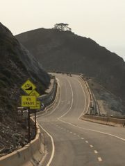
At mile 30, we were suddenly back on US 1, though our cues took us off briefly onto a bike path with steep switchbacks, and then a mile long climb on US 1 with 7-8% grade and virtually no shoulder – I just keep my head down, pedal slow and steady, and try to keep a straight line as far right as possible.

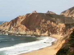
Instead of a tunnel used by cars, we enjoyed the Devil’s Slide bike path with a gradual uphill followed by a 9% downhill, before rejoining US 1.

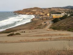
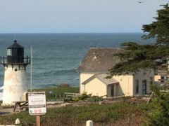
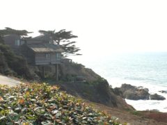
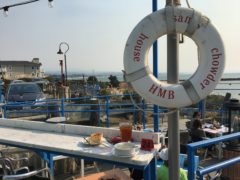
In Moss Beach around mile 36, I passed a lighthouse and related buildings, now a hostel.  I stopped just as I entered Half Moon Bay for a cup of chowder at Sam’s Chowder House, a bit of a late lunch.

We are staying at the Coastside Inn, I have a single room – and the coast is a mile down the road??

The air is definitely cleaner and we enjoyed a breeze from the north for many miles this afternoon to push us to Half Moon Bay.

Garmin:  45.38 miles, 9.52 mph, 3244.7 ft ascent

Relive:  https://www.relive.cc/view/1227518869

Photos when there is a better internet connection….