The worst part of the day was having to ride back 9 miles on the Colonial Parkway. I took a photo of the road surface.
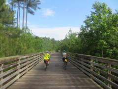
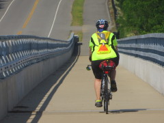
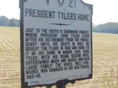
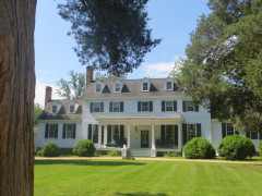
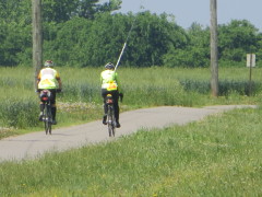
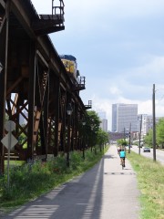
But then we transitioned to the best part of the day, almost 30 miles on a bike path, the Capital Trail, our first on this tour. We mostly paralleled Route 5, wandering first through hardwood forests, then wheat fields. Eventually, the Trail will run all the way to Richmond, some 53 miles, though several segments are currently under construction. I did detour to stop by Sherwood Forest Plantation, the longest frame house in America, once home to President John Tyler (Sherwood Forest Plantation).
-
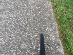
- The rough road surface of the Colonial Parkway.
-
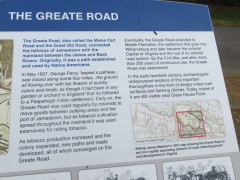
- Heritage of the Capital Trail.
-
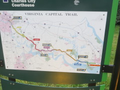
- Trail map.
-
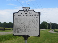
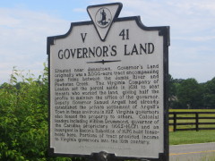
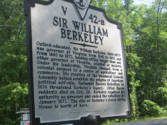
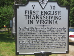
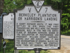
- It’s hard for me to pass up the many historical markers.
-
- Creek crossing.
-
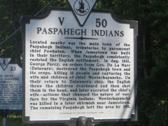
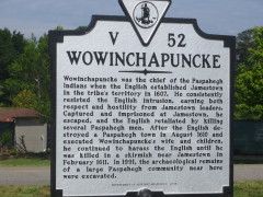
- Cruelty to the Indians.
-
- Separate bridge over the Chickahominy River, part of the Chesapeake Bay Watershed.
-
- Sherwood Forest Plantation.
-
- Past wheat fields.
-
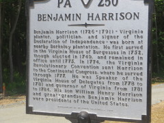
- Wish I had stopped at this plantation, due to the connection to Indiana (William Henry Harrison).
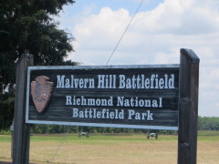
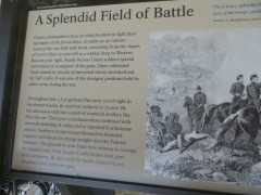
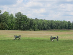
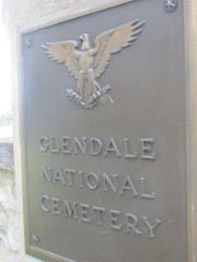
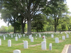
After the trail ended, we were in an area of Civil War significance.
When we passed this cemetery, we assumed it was Civil War dead, but it turned out to be a more recent military burial site (many Vietnam veterans).
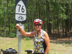
We were briefly on Bike Route 76, part of the Adventure Cycling National Bike Route system. About 6 miles before the end, we rejoined the Capital Trail for about a mile, into Richmond.
-
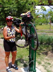
- A bike “service station” along the Trail.
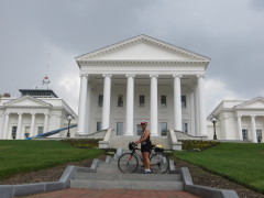
Kathy Q. and I opted to stop at the Virginia State Capitol for some photos – and ended up drenched by a pop-up shower, luckily it was warm and the rain cooled us down for the final 3 miles to our hotel.
-
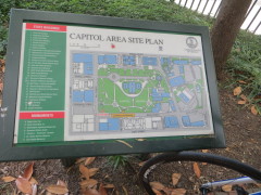
- Capitol area map
-
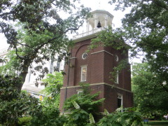
- We should have taken shelter in this clock tower, the Visitor Information Office.
-
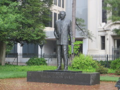
- Harry Byrd, hero of Virginia!
-
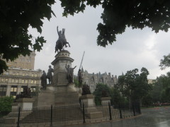
- George Washington getting wet!
67.66 miles today; 1533.05 miles from Fort Lauderdale; 1761.54 miles from Key West.
One Comment
Leave a reply →